Funded by USGS and private donations to the Snake River Fund, the streamgage is the result of a partnership between USGS, the Snake River Fund, and Teton Conservation District.
New Hoback River Streamgage. Photo: Jared Baecker // Snake River Fund.
After the warm and dry summer of 2021 and longer-term drought concerns, the organizations collectively recognized the importance of sharing streamflow and temperature data on the Hoback River with the public.
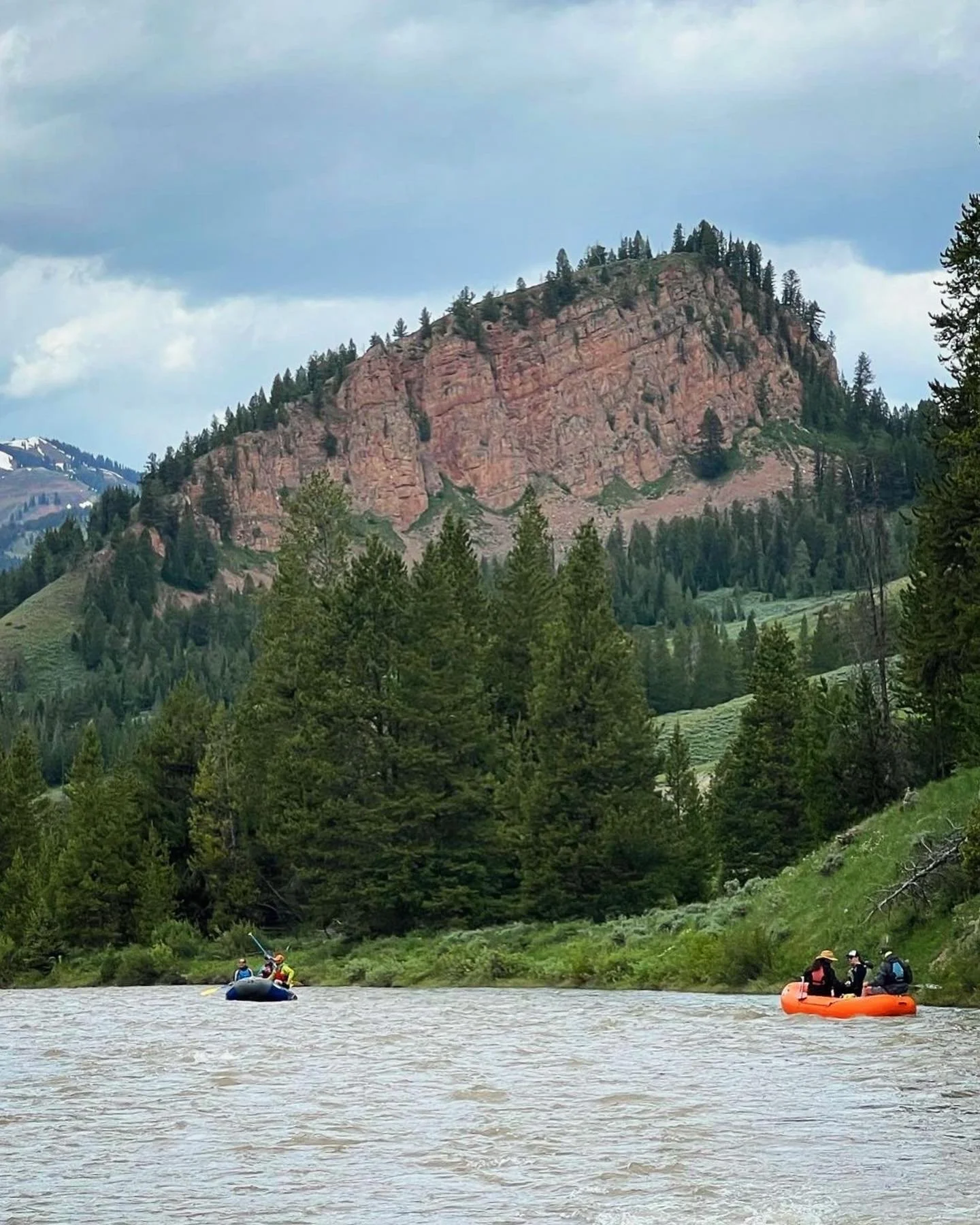
The Wild & Scenic Hoback River provides prime paddling for kayakers, packrafters and rafters during spring runoff. Once high water subsides, the river is an excellent wade fishing destination.
As an organization that promotes river recreation and public access, the Snake River Fund notes the new gage will help the paddling community by establishing flow data thresholds that will support the use of different types of watercraft. Additionally, the gage will inform anglers about the real-time water temperatures and allow for informed decision-making.
“During the heat of summer, catch and release anglers should understand the effects of river temperature on native Snake River fine-spotted cutthroat trout,” said Jared Baecker, executive director of Snake River Fund. “As waters warm into the upper 60-degree Fahrenheit range, hooked trout may experience elevated stress and struggle to cope with the rigors of being caught and released.”
The Hoback River is a free-flowing river for over 55 miles, and many of those miles are accessible from US Highway 191 as the river flows through the Bridger-Teton National Forest. David Lee, water resources specialist for Teton Conservation District, is looking forward to the public benefit the streamgage will bring to the community. “It’s important to establish a long-term, real-time, and continuous public dataset to support Bridger-Teton National Forest’s continued management of this river,” Lee said.
Teton Conservation District and USGS partner to maintain and operate several streamgages across Teton County. In addition to the Hoback River, Teton Conservation District provides ongoing funding for the streamgages on Fish Creek, Flat Creek, the Snake River and the Gros Ventre River. In 2022, the district funded the launch of continuous temperature sensors on the Snake River, the Buffalo Fork and Flat Creek.
Click here to view the real-time gage height, streamflow, and temperature data.


